The stage K-C 6 of the Walk of Peace from the Alps to the Adriatic trail starts in Italy at the mountain hut Rifugio Pelizzo from where you ascend to the top of Mt. Matajur (1,642 m). You will need roughly an hour to reach the top from where there is a magnificent view of Mt. Stol, Mt. Kanin, Mt. Krn, the Friuli Plain, the hamlets of Slavia Friulana and of the Carnic Alps (Alpi Carniche) which opens up in front of you. Mt. Matajur which stands on the border with Slovenia and Italy was occupied by the Italian forces during World War I. Due to its distance to the Isonzo Front there were no significant events on Mt. Matajur until the Twelfth Isonzo Battle when on the 26th of October 1917 the First Lieutenant Erwin Rommel conquered the top capturing the entire Salerno Brigade.
From the top of Mt. Matajur you descend down the right side, on a marked path. You walk along the state border and after a few hundred metres turn left onto the Slovenian side. You continue to descend towards the village of Avsa, which you reach after about 2.5 hours of walking. From Avsa you continue on the tarmac road to the next village of Perati, where you can stop at the Church of St. Peter. At the parking area by the church you turn left, cross a meadow and descend through the forest down to the village of Livek. At the fire station you turn left and continue on the tarmac road Livek–Idrsko. After five kilometres you reach the village of Idrsko where you turn left. Only a few metres from the main road you can visit a private museum collection The Soča Region 1915–1917. Arriving to the main road, carefully cross the road and continue straight on. Turn left at the next crossroad and then, after passing the stone water trough, turn right at the next crossroad. Continue straight on to the end of the village and then, continuing past the fields, follow the road that brings you to the edge of Kobarid. Turn left at the treatment plant and continue straight. Follow the tarmac road that turns into a dirt road until you reach the cannon where you turn right for the centre of Kobarid where this stage of the Trail concludes.
Kobarid in the Whirlwind of Centuries
Mt. Matajur – The Symbol of Natisone Valleys (Valli del Natisone)
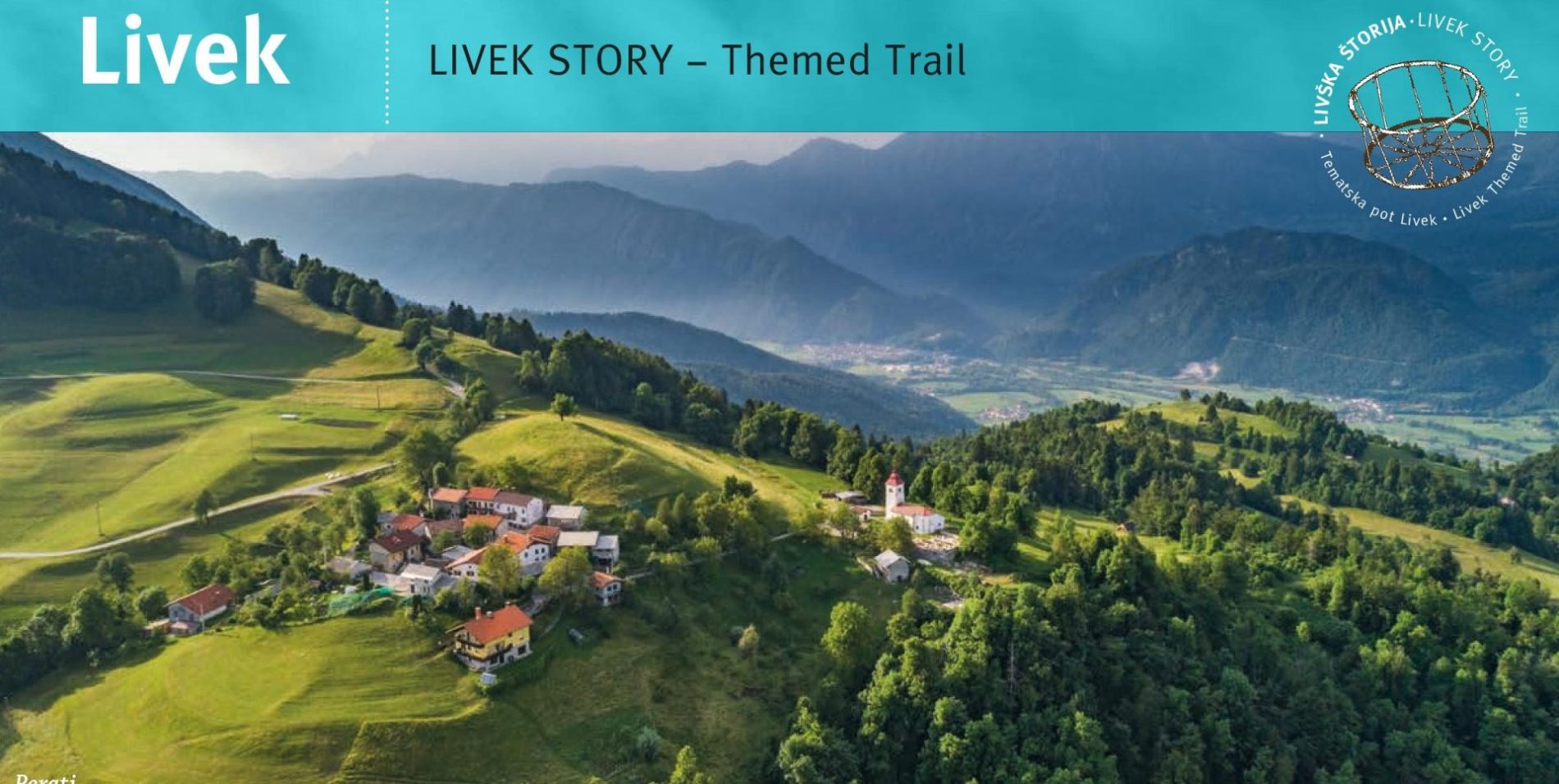
The village of Livek and its surroundings form a part of the Livek Story – Themed Trail with seven points of interest. Not far from the village of Avsa in the hamlet of Jevšček, you can explore the renovated fortified positions from World War I, the Rommel Encampment collection and Nježna House.
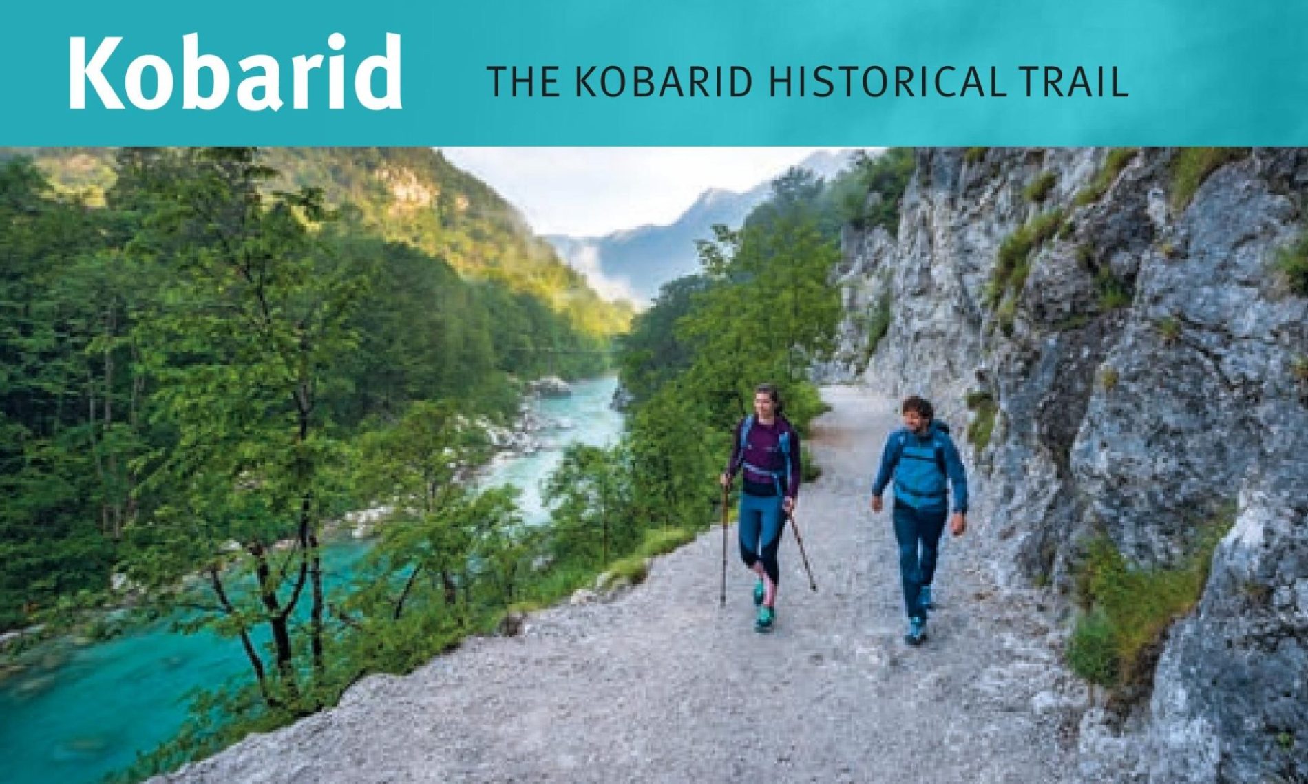
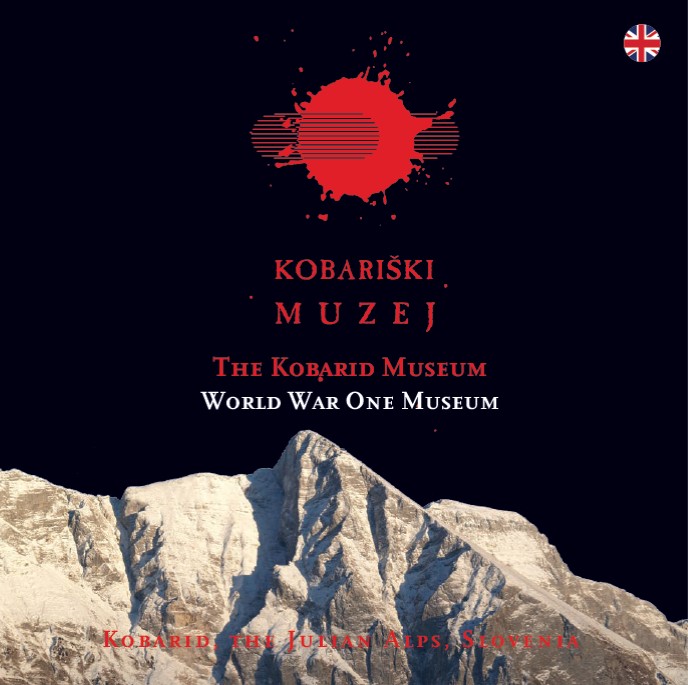
In Kobarid we invite you to visit The Walk of Peace Visitor Centre, where you can get all the information you need regarding The Walk of Peace from the Alps to the Adriatic trail. At the Centre you can also hire a local guide to show you the heritage of the Isonzo Front and the Kobarid Historical Trail. Moreover, we heartily invite you to visit the Kobarid Museum, dedicated to the Isonzo Front and especially the Twelfth Isonzo Battle. Not far away at the Planika dairy factory you will find the Cheese Museum Kobarid that also deserves a visit.
Public transport:
Summer bus services:
Kobarid–Livek–Avsa–Kobarid (Hop on-Hop off)
Parking (start and end point of the stage):
Start: parking area by the mountain hut Rifugio Pelizzo
End: parking area by the Kulturni dom Kobarid (the cinema)
Center za obiskovalce Pot miru, Kobarid
(The Walk of Peace Visitor Centre, Kobarid)
Gregorčičeva ulica 8
SI–5222 Kobarid
+386 5 389 0167, +386 31 586 296
turizem@potmiru.si, info@thewalkofpeace.com
www.thewalkofpeace.com
TIC Kobarid
Trg svobode 16
SI–5222 Kobarid
+386 5 380 04 90
info.kobarid@dolina-soce.si
www.soca-valley.com