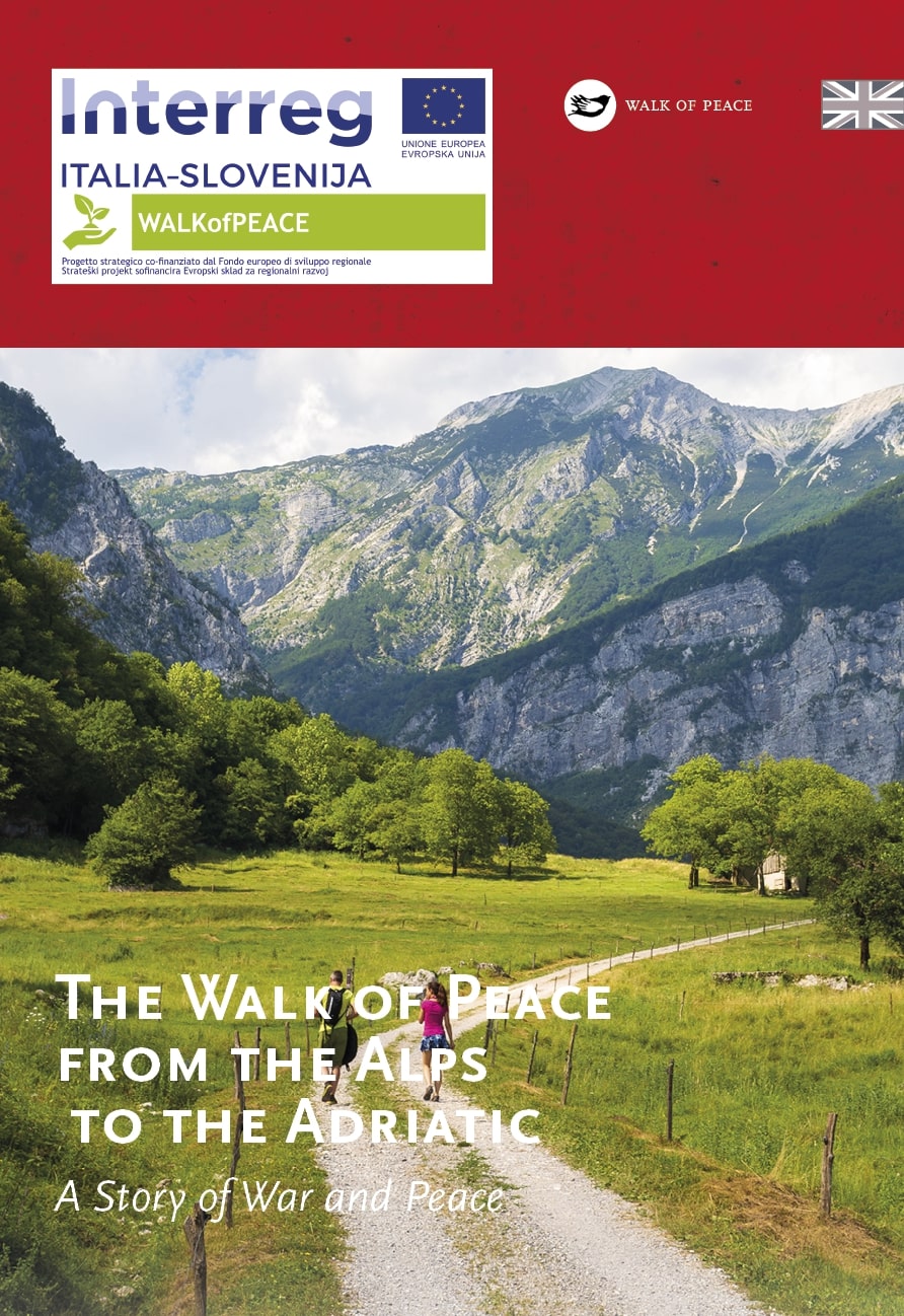
The prealpine world of Mt. Matajur is an important geographical, historical, dialectal and ethnological milestone. While on the northern, i.e. Slovenian, side of Mt. Matajur, steep and overgrown slopes prevail, the extensive barren slopes on the Italian side that extend towards Špieter/San Pietro al Natisone are gentler. From the top of the mountain a magnificent panoramic view opens over Mts. Stol, Kanin and Krn, the Friuli lowlands, the Venetian villages at the foot of the hill and the Carnic Alps.
Mt. Matajur that lies on the border between Slovenia and Italy, was occupied by Italian soldiers during World War I. Being remote from the front, Mt. Matajur was not a scene of any notable event all until the Twelfth Isonzo Battle. On October 26, 1917, the summit was conquered by First Lieutenant Erwin Rommel, and the entire Salerno Brigade was thus captured. Italian soldiers were tired of war due to the heavy losses in the past months and they surrendered virtually without a fight. For his success on Mt. Matajur, Rommel was later awarded also the highest German decoration “Pour le Mérite”.
Mt. Matajur – The Symbol of Natisone Valleys (Valli del Natisone)
Access to Matajur is possible from several directions. From the Slovenian side, a marked mountain trail leads to Matajur from the village Avsa. Access is also possible from the village Svino. From the Italian side, access is possible from San Pietro al Natisone/Špietar, from the village Montemaggiore/Matajur or from the Rifugio Pelizzo hut.
TIC Kobarid
Trg svobode 16
SI–5222 Kobarid
+386 5 380 04 90
info.kobarid@dolina-soce.si
www.soca-valley.com
Centro visitatori ‟Walk of Peace”,
IAT Valli del Natisone
(The Walk of Peace Visitor Centre,
IAT Valli del Natisone)
Via Alpe Adria, 73
I–33049 S. Pietro al Natisone (UD)
+39 349 3241168, +39 339 8403196
segreteria@nediskedoline.it
www.nediskedoline.it