Your journey starts in Kambreško where you can visit an interesting ethnological collection in Lukčeva Hiša and its kitchen with a typical stone fireplace, an ethnological monument of local significance. In the centre of the village you can see a water reservoir from World War I. You continue along the ridge of Kanalski Kolovrat following a picturesque, part tarmac and part dirt road to the villages of Humarji, Gorenje Nekovo and Lig. On the way to Humarji, you will go past a water trough from the times of World War I. The road then takes you to Lig with the pilgrimage church of Virgin Mary (Marijino Celje). The first church first stood on this spot in the beginning of the 13th century. In 1761 a copy of Mary’s statue was brought from the Austrian Mariazell, from where the church also got its name. Together with the pilgrimage centres on Sveta Gora above Solkan and Castelmonte/Stara gora above Cividale del Friuli/Čedad the church forms The Path of Three Sanctuaries. If you decide to go slightly off the trail at the village of Lig, you can visit Franc Jerončič’s Museum Collection in the village of Melinki, one kilometre away. Apart from the rich ethnologic and woodcarving collection you can also see a collection of items from World War I. From Lig continue on the tarmac road and then onto a forest road past the Church of St. Jacob above Debenje and the Church of St. Gendrca (St. Gertrude) under Korada. The latter was first mentioned in 1523. It was demolished during World War I and was later restored. The altar was brought from the demolished Church of St. Mark in Vipava. Only a few metres separate you from the top of Mt. Korada (812 m), from where the King of Italy, Victor Emmanuel III and his generals observed the action on the front. From here a beautiful view opens in front of you of the majestic Julian Alps, Soča Valley, Slavia Friulana, the Friuli Plain and the Adriatic Sea. Under the Mountain Hut on Korada, stay to the left and the path will bring you to the main road Lig–Vrhovlje. Continue on a marked path that goes along the main road and also crosses it several times. After a good hour’s walk, you arrive at the church in Vrhovlje from where you descend through the village to the main road, at a view point indicated with an information board, turn left. Continue on a path that takes you through the forest and joins the road Vrhovlje–Sabotin. Here turn right and continue to the monument “The History of the Slovenes”. Behind the monument, turn left down to the village of Kojsko. When you get to the main road, turn right onto a dirt road that takes you above the village. Walk through the vineyards to the tarmac road, cross it and at the crossroad take the road for the village of Vedrijan. Continue to Wine Cellar Ferdinand where you turn left onto a dirt road that leads you to the village of Imenje. From here, a tarmac road brings you to the picturesque village of Šmartno. The village, most likely built on Roman foundations, once had the role as a fortification on the on the Venetian-Austrian border. Today it is an architectural gem, a cultural monument, unique as a whole and in its numerous fine details.
Outdoor Museum Sabotin – The Park of Peace
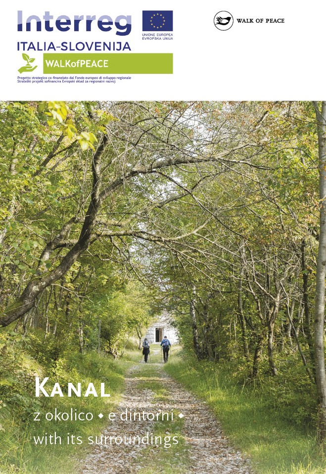
A Guided Hiking Tour along the Walk of Peace
You are heartily invited to visit the House of Culture (Hiša kulture) and Brda House (Briška hiša) in Šmartno.
Public transport:
On the section between Kambreško and Šmartno there are no public transport services available.
Regular bus services:
Nova Gorica–Šmartno
Parking (start and end point of the stage):
Start: the centre of the village of Kambreško
End: parking area by the main road in Šmartno
Center za obiskovalce Pot miru, Kobarid
(The Walk of Peace Visitor Centre, Kobarid)
Gregorčičeva ulica 8
SI–5222 Kobarid
+386 5 389 0167, +386 31 586 296
turizem@potmiru.si, info@thewalkofpeace.com
www.thewalkofpeace.com
TIC Kanal
Pionirska ulica 2
SI–5213 Kanal
+386 5 398 12 13
info@ztkms-kanal.si
www.tic-kanal.si
TIC Brda
Šmartno 13
SI–5211 Kojsko
+386 5 395 95 95
tic@brda.si
www.brda.si