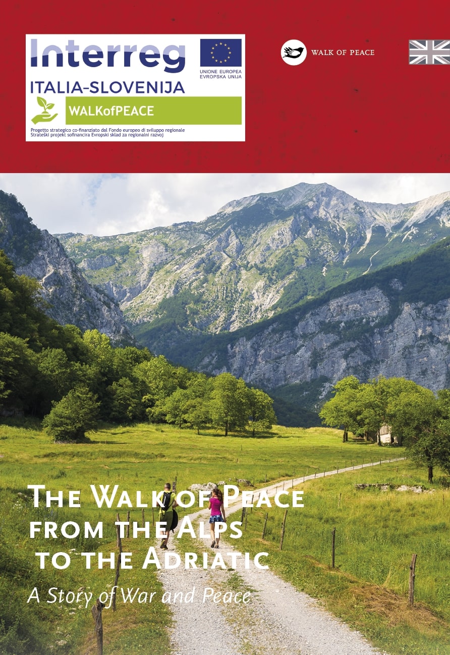
The Walk of Peace from the Alps to the Adriatic trail starts in the village of Log pod Mangartom, during the time of the Isonzo Front it was in the hands of Austro-Hungarian forces. By the main road, opposite the civil cemetery, stands the church of St. Barbara, the patron of miners. Here you turn onto a road that brings you to Štoln or Hilfsstollen in German, a renovated entrance to a mining shaft, which was connected to an abandoned mine in Cave del Predil/Rabelj/Raibl. Next to Štoln, which represents the starting point of the Walk of Peace trail, lies the Austro-Hungarian military cemetery with a majestic monument of two soldiers gazing in the direction of Mt. Rombon. The cemetery is the last resting place to more than 800 soldiers, who had fallen in the battles that were fought on the slopes of Mt. Rombon. In 1916 Bosnian-Herzegovinian soldiers built a mosque in Log pod Mangartom which is no longer preserved and only old photographs give us an insight of how it looked. From the military cemetery follow the signs for the Walk of Peace that lead us along the right bank of the Koritnica river, through the Možica valley and then again along Koritnica towards Bovec. The path through the beautiful gorges of the Nemčlja and Koritnica rivers brings you to a 100 metres long tunnel that connects Fort Kluže with the upper fortification Fort Hermann. Fort Kluže is one of the most visited tourist sights in the Bovec area. From a nearby bridge you can admire the deepest and the narrowest part of the Koritnica Gorge. After visiting the fort, descend down the riverbed of the Koritnica river and follow the marked trail. After a while you cross the main road and continue on the road that takes you past the church of St. Leonard, through the forest, and all the way to the crossroad of the main road Bovec–Predel with the road that goes to the Trenta valley and the Vršič Pass. Right by this crossroad lies an Austro-Hungarian military cemetery. Continue towards Trenta and soon the markings will guide you right to the outdoor museum Ravelnik. Here, on a relatively short part of the onetime Austro-Hungarian defence line, you can see a number of remains from World War I (trenches and connecting tunnels, caves, machine gun positions, renovated barracks, observation posts). After visiting Ravelnik the trail brings you to Bovec where you can visit two World War I private museum collections (A Farewell to Arms 1915–1917 and 1915–1918). In Bovec ends the first stage of the Walk of Peace from the Alps to the Adriatic trail.
Outdoor Museum Ravelnik – In the Shelter of Mountains
The Austro-Hungarian Guards of Bovec Area
A Guided Hiking Tour along the Walk of Peace
After visiting the outdoor museum Ravelnik you can head towards the village of Kal-Koritnica. From there a path takes you to the outdoor museum Čelo located on the slopes of Mt. Svinjak. The reward for a half-hour climb is a beautiful view on the Bovec Basin and the surrounding mountains. At Čelo you can see Austro-Hungarian fortified positions.
On your return to Kal-Koritnica continue towards the Golobar alpine pasture. Do not cross the footbridge over Soča but continue on the right side Soča bank to the bridge over Koritnica river in Vodenca and from there continue towards Bovec.
Public transport:
Summer bus services:
Bovec–Vršič–Kranjska Gora–Vršič–Bovec
Bovec–Log pod Mangartom–Mangartsko sedlo (Hop on-Hop off)
Parking (start and end point of the stage):
Start: parking area at Štoln, Log pod Mangartom
End: parking area in front of the Kulturni dom Bovec
Center za obiskovalce Pot miru, Kobarid
(The Walk of Peace Visitor Centre, Kobarid)
Gregorčičeva ulica 8
SI–5222 Kobarid
+386 5 389 0167, +386 31 586 296
turizem@potmiru.si, info@thewalkofpeace.com
www.thewalkofpeace.com
TIC Bovec
Trg golobarskih žrtev 47
SI–5230 Bovec
+386 5 3029 647
info.bovec@dolina-soce.si
www.soca-valley.com