The elevation of Prižnica above Plave (Hill 383) was an important strategic point for the access to the Banjška planota plateau. After the Italian declaration of war, the Austro-Hungarian Army withdrew to the left bank of the Soča (Isonzo) and destroyed all the bridges behind. The Italian troops crossed the Soča already in June 1915 and fortified their positions at the foot of Mt. Prižnica. Gradually, they advanced to the area between Globno and Zagora. A little more to the north of the destroyed bridge at Plave they set up a pontoon bridge. The Italian front positions were disposed near Globno steeply up to the top of Prižnica where they arced it, then descended to the gorge below Paljevo and continued at the foot of Mt. Kuk southwards where, with a sharp bend south of Zagora, they descended to the Soča. The Italian Army launched its first major attack on the peak of Mt. Prižnica on 16 June 1915 with as many as three brigades, yet unsuccessfully. Austro-Hungarian soldiers of the 1st Mountain Brigade, composed of individual battalions of the 52nd, 69th and 22nd Infantry Regiments, defended their positions with machine-gun fire. Only after two years of fierce fights the Italian troops succeeded in conquering Mt. Prižnica in the Tenth Isonzo Battle in May 1917. The place was also named “the Bloody Hill”.
Both the Italian and the Austro-Hungarian armies built a vast complex of military infrastructure on the entire area of Mt. Prižnica. Remains of this heritage can still be seen today (water trough, remains of the Avellino Brigade cabin with a cave, dressing station, trenches and caves, military cemeteries, etc.); a circular path connects them into the Prižnica Memorial Park.
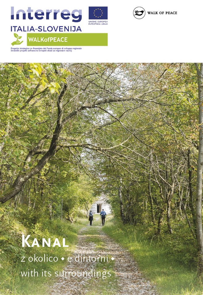
The easiest way to reach the outdoor museum Prižnica is from the village of Plave, from where you follow the marked old military road. It is also possible to get to the outdoor museum from the villages of Paljevo (starting at the Church of St. Quirinus) and Deskle, and from Sveta Gora.
Center za obiskovalce Pot miru, Kobarid
(The Walk of Peace Visitor Centre, Kobarid)
Gregorčičeva ulica 8
SI–5222 Kobarid
+386 5 389 0167, +386 31 586 296
turizem@potmiru.si, info@thewalkofpeace.com
www.thewalkofpeace.com
TIC Kanal
Pionirska ulica 2
SI–5213 Kanal
+386 5 398 12 13
info@ztkms-kanal.si
www.tic-kanal.si