The fifth stage of the Walk of Peace from the Alps to the Adriatic trail starts in the centre of Tolmin, from where the road takes you in the direction of the confluence of the rivers Tolminka and Soča and further on to the German Charnel House, where lie the remains of around 1,000 German soldiers that fell in the Twelfth Isonzo Battle. From here you continue to the town’s cemetery and descend down some stairs to the Soča river and follow the path that brings you to the bridge. On the other side of the bridge, continue on tarmac road in the direction of the public cemetery in Volče. In the turn below the cemetery turn left and continue to a farm building, after which you turn left once again and continue to climb up to Mengore. At this point you already enter the Mengore outdoor museum. Continue past the Pavelić and Kanduč memorial plagues to the Na Lajšču Information Board, where you turn right in the direction of the Church of the Holy Name of Mary that stands on the top of Mengore Hill. From the church you head down and turn left past an abandoned farm and continue to the caves where, in the times of the Isonzo Front, the artillery positions and searchlights were placed. After visiting the caves turn back and continue straight on, past several remains and through a short tunnel until you get to a crossroad. The path on the right takes you to a former Austro-Hungarian military cemetery. After visiting the cemetery go back to the crossroad and continue straight on until you reach another crossroad, where you turn right and soon after that arrive to the Na Lajšču Information Board. Take the same road to get back to the civil cemetery in Volče and continue on the road until you reach the village.
Go through the village and follow the signs for Kolovrat. After about 3 kilometres of steep main road you turn left in the first sharp turn onto a path that after about an hour of walking brings you to the hunter’s lodge, here you cross the main road and continue the climb through the forest until you reach the Kolovrat outdoor museum, one of the most visited sights on the Walk of Peace trail. The museum gives you an insight into the third Italian defence line.
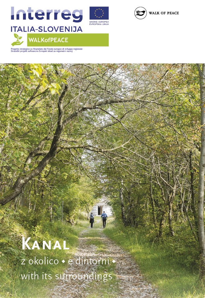
From the outdoor museum the footpath takes you onwards towards the top of Mt. Ježa (949 m) from where it continues along the ridge of the Kanalski Kolovrat that rises steeply along the right bank of the Soča river and offers great views over the entire former battlefield and the farmost areas of the Isonzo Front, from Mt. Kanin, Krn Mountain Range, Sveta Gora, Slavia Friulana and the Friuli Plain all the way to the sea of the Gulf of Trieste. The Kolovrat Mountain Ridge, which is a geographical obstacle between the Friuli Plain and the Soča Valley, was well used by the military units in the time of the Isonzo Front, so you will find many remains from that period, including road infrastructure, caves, water troughs and reservoirs. From the top of Mt. Ježa, the path descends down to the Pod Ježo Mountain Hut, where you can stop for a quick refreshment (the lodge is open at the weekends during the summer season and also offers accommodation in dormitories). Your journey continues on a marked path to the two picturesque villages of Pušno and Srednje that welcome you with stunning views of the surrounding hills. In the centre of Srednje you can visit the Church of the Holy Trinity from 1872. The church was demolished during World War I and later rebuilt. From here you continue along the idyllic ridge to Mt. Globočak where you can see the fortified Italian positions and a memorial. From there you descend to the finish of the fifth stage of the trail in the village of Kambreško. In Kambreško you can visit the interesting ethnological collection in Lukčeva hiša where you can also see a typical stone fireplace, an ethnological monument of local significance. In the centre of the village you can see a water reservoir from World War I.
In Tolmin you can visit the Tolmin Museum, which gives you an insight into the way of life in the Upper Soča Valley through the centuries. On the outskirts of Tolmin stands a small hill called Kozlov Rob. On top of which lie the remains of a castle from the 12th century. During World War I the Austro-Hungarian artillery had its observation post here. In the town of Most na Soči, you can visit the museum collection called the Little Museum of the Isonzo Front Tolmin Bridgehead.
Public transport:
Summer bus services:
Kobarid–Kolovrat–Kobarid (Hop on-Hop off)
Between the outdoor museum Kolovrat and the village of Kambreško there is no public transport service.
Parking (start and end point of the stage):
Start: the parking area opposite the Sports Park Brajda (Mestni log Street), Tolmin
If you start this section of the trail on Mt. Kolovrat, you can park next to the outdoor museum, opposite the Walk of Peace Information Point.
End: the centre of the village of Kambreško
Center za obiskovalce Pot miru, Kobarid
(The Walk of Peace Visitor Centre, Kobarid)
Gregorčičeva ulica 8
SI–5222 Kobarid
+386 5 389 0167, +386 31 586 296
turizem@potmiru.si, info@thewalkofpeace.com
www.thewalkofpeace.com
TIC Tolmin
Mestni trg 5
SI–5220 Tolmin
+386 5 380 04 80
info.tolmin@dolina-soce.si
www.soca-valley.com
TIC Kanal
Pionirska ulica 2
SI–5213 Kanal
+386 5 398 12 13
tic.kanal@siol.net
www.tic-kanal.si