In the so-called Area of Battles there are numerous connection galleries, trenches, fortifications as well as Austro-Hungarian and Italian built structures. Worth mentioning among the remains is the trench which was called Trincea delle Frasche by Italian soldiers because it was one of the biggest obstacles during their first attacks on the Austro-Hungarian Army. The nearby entrenchment which was dug by the Austro-Hungarian soldiers in the first months of the war and which the Italian Army conquered at the end of 1915, was inventively concealed. Responsible for the trick were Hungarian soldiers, since they used branches (Frasche) to conceal the entrenchment and thus protected it from observers and reconnaissance aircraft. Today can mainly be seen the remains of fortresses that were built by the Italians between the autumn of 1916 and the first months of 1917. Along the trench a military tunnel can also be seen which provided connection with other front lines in this area, primarily with the nearby Bersaglieri Valley.
From Sagrado/Zagraj follow the signposts for Parco Ungaretti–San Martino del Carso/Martinščina. Continue for a few kilometres along the SP9 provincial road to the signpost Cippo Brigata Sassari. Park your car and continue on foot.
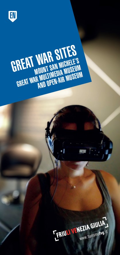
Museo multimediale del Monte San Michele
Via Zona Sacra c/o cima del Monte San Michele
I‒34078 Sagrado (GO)
+39 0481 92002
museosanmichele@coopthiel.it
www.museodelmontesanmichele.it/index-en.html
Gorizia Infopoint
Corso Italia, 9
I–34170 Gorizia
+39 0481 535764
info.gorizia@promoturismo.fvg.it
www.turismofvg.it
Centro visitatori “Walk of Peace”, IAT Fogliano Redipuglia
(The Walk of Peace Visitor Centre, IAT Fogliano Redipuglia)
Via III Armata, 37
I–34070 Fogliano Redipuglia (GO)
+39 0481 489139, +39 346 176 1913
info@prolocofoglianoredipuglia.it
http://www.prolocofoglianoredipuglia.it/