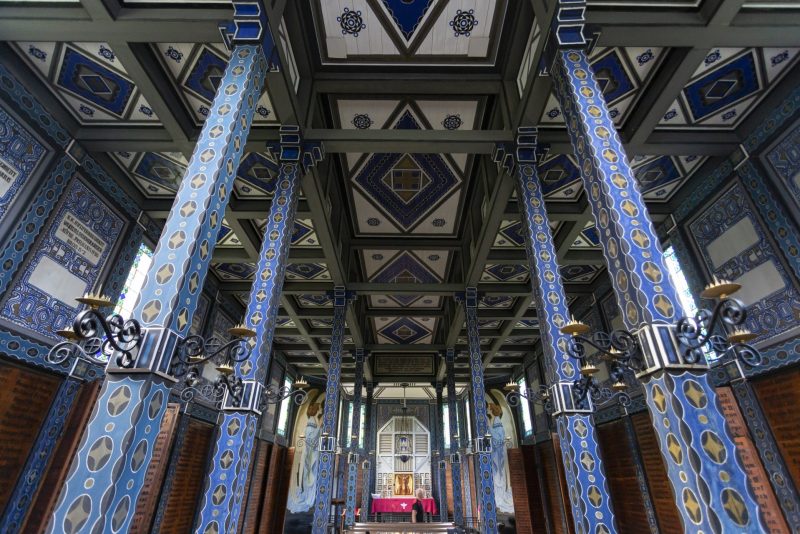
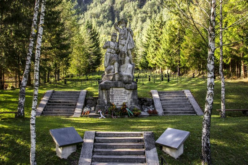
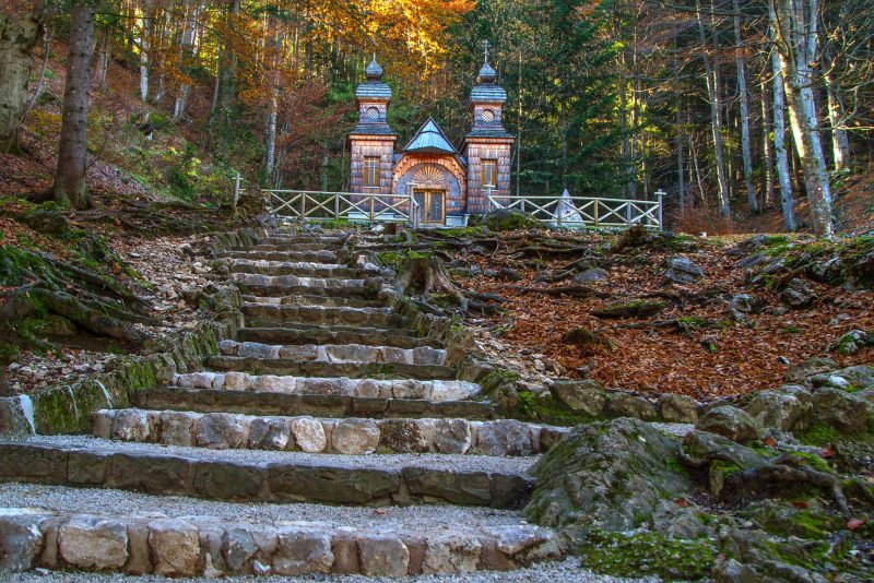
Data capture with non-contact measuring devices, cameras and 3D scanners enables high-quality documentation of the surfaces of objects, buildings or terrain. At the same time, coordinates, colour and reflectance are assigned to each point. The relative accuracy can range from less than a millimetre to a few centimetres and mainly depends on the needs and also on the size of the surface we want to process. In this way, a three-dimensional point cloud is created in space, which allows further processing for a variety of purposes. 3D scanning and processing are primarily a great way to document the condition of buildings and objects for archiving, presentation and further design processing. In the cases shown, a combination of data capture from the terrain and the interior & exterior of the building was used.
Execution: Avgusta d.o.o.